Sithonia
All the way round Sithonia
One road, about 110 kilometres, one day. And one cape you should not drive to.
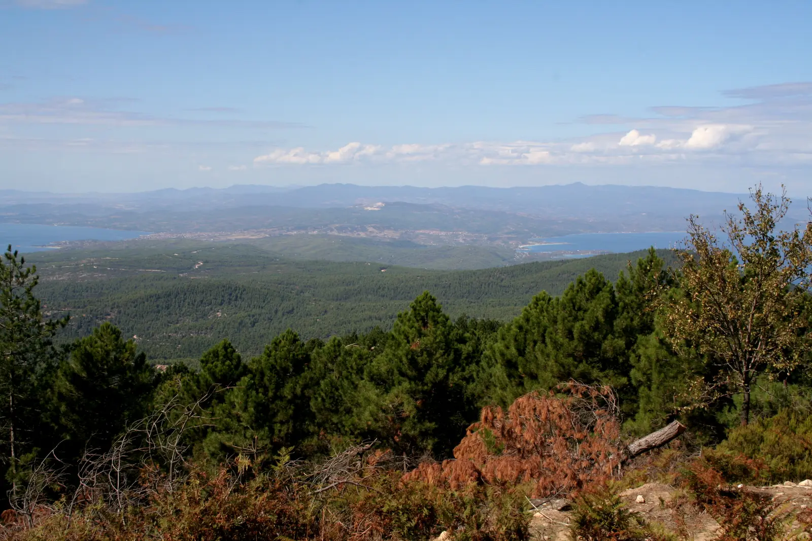
Foto: W.Horseman / Wikimedia Commons, CC BY-SA 3.0
Sithonia
One road, about 110 kilometres, one day. And one cape you should not drive to.
Sithonia has one main road and it goes all the way round the outside. That makes the loop the simplest day a peninsula can offer: you cannot get lost, only misjudge it.
The circuit runs about 110 kilometres and takes three to four hours without stops — with stops it is a full day, not a morning.
| Place | Coast | From Nikiti | What for |
|---|---|---|---|
| Agios Nikolaos | east | 8 km | one of the oldest settlements in Chalkidiki |
| Vourvourou | east | 11 km | shallow bays, boats out to Diaporos |
| Neos Marmaras | west | 18 km | promenade, supplies, coffee |
| Porto Carras | west | 20 km | vineyard and resort |
| Sarti | east | 40 km | long sandy beach, Athos in front of you |
| Porto Koufo | south | 44 km | natural harbour, fish tavernas |
| Sykia | east | 51 km | village with Byzantine history |
Parthenonas is five kilometres above Neos Marmaras, Ormos Panagias five kilometres short of Vourvourou, Toroni two kilometres short of Porto Koufo. The distances come from the region's official tourism site.
The honest answer is: earlier than you would like.
In high season in July and August, Nikiti itself is the bottleneck of northern Sithonia — there is effectively one road carrying all the north–south traffic, plus traffic lights, supermarket entrances and beach turnings. In the peak August weeks, delays of twenty to thirty minutes and more are normal, particularly on Saturdays, when many hotels change over, and after thunderstorms, when everyone leaves the beach at once. The critical evening window runs from half five to nine.
Both directions work — there is only one argument, and it is the light.
We would go clockwise, down the west coast first. Mount Athos stands to the east. Reach the east coast in the morning and you see it against the sun; arrive in the afternoon and you have it lit.
01
In the 1970s Parthenonas was all but abandoned — the residents moved down to the coast, where the money was. Later some came back and restored the stone houses. Today there are holiday houses, cafés, a restaurant, a folklore museum and the church of Agios Stefanos from 1837. The road up is surfaced, you park at the edge, and the lanes are narrow.
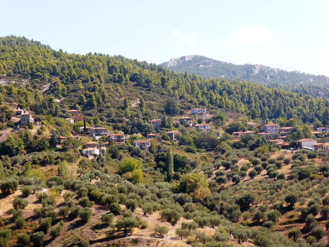
It is the opposite of the resort five kilometres below, and the drive up takes under ten minutes.
02
Domaine Porto Carras covers 450 hectares and counts as the largest single vineyard estate in Greece. It was laid out in 1965 under the guidance of Émile Peynaud of the University of Bordeaux, and has been farmed organically since 2000. The appellation is "Slopes of Meliton".
Vineyard tours run two hours on Tuesdays, Thursdays and Saturdays at half past ten, at 15 euros a head; a tasting alone is cheaper. The grounds themselves are open daily. The times shift with the season — check before you go.
03
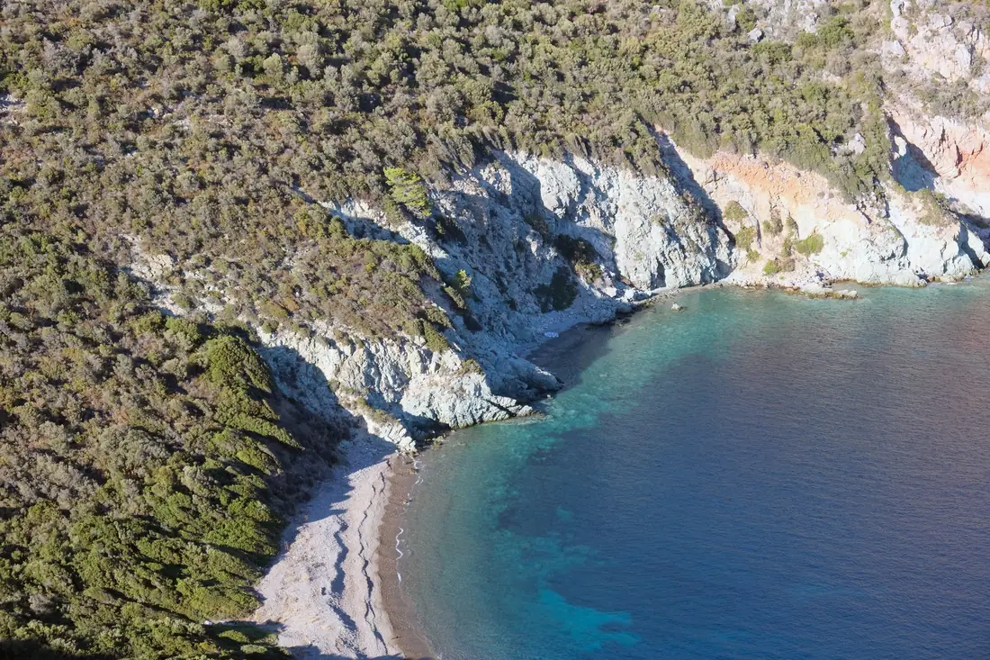
Toroni was founded in the 8th or 7th century BC by Chalcidians from Euboea and was fought over by Athens and Sparta in the Peloponnesian War — Thucydides covers it across two books. Excavation has been under way since 1975. You can see the remains of a harbour wall some sixty metres long, the basilica of Agios Athanasios, and Cape Lekythos, which carries traces of settlement from the Copper Age to the 17th century.
The beach alongside runs about two kilometres, part organised, part free.
04
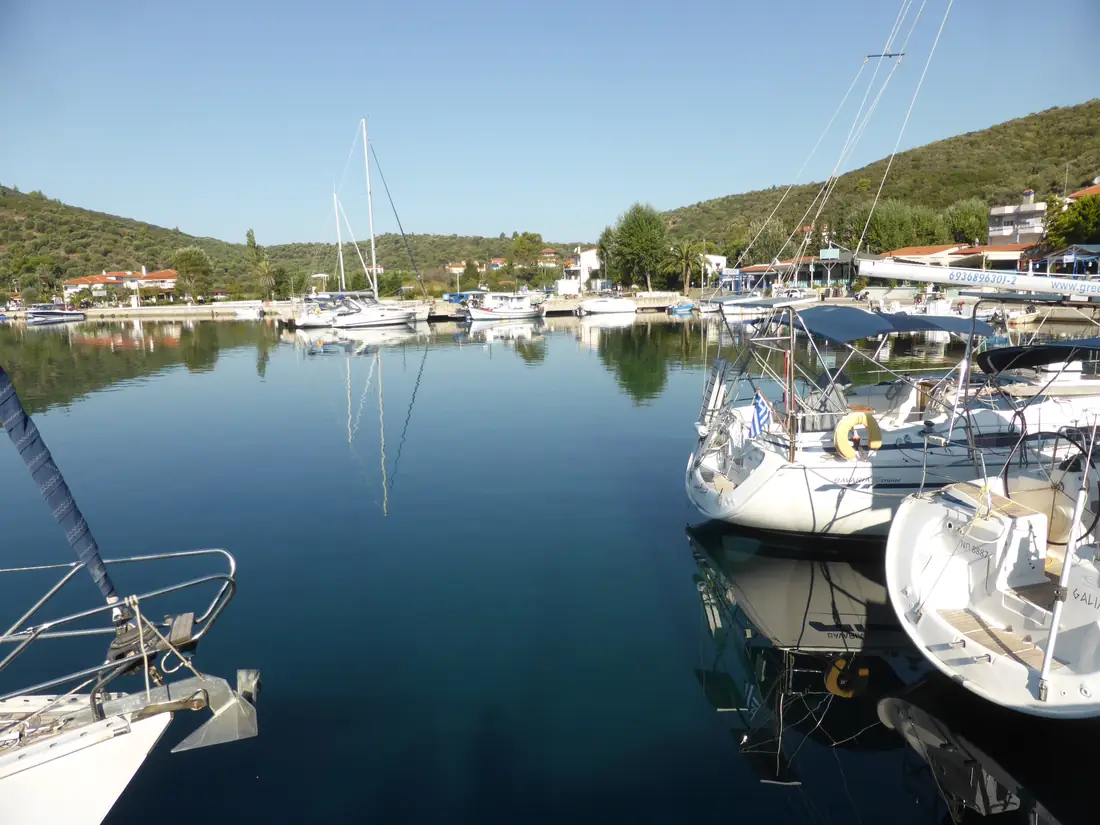
An almost closed bay whose entrance is barely visible from the sea. It counts as the largest natural harbour in Greece, and runs up to 110 metres deep.
Thucydides mentions the harbour; it served the city of Toroni as a naval base. In the Second World War German submarines used the bay, for its position and its direct access to the Aegean. Around two hundred people live there now; there are fishing boats, yachts, a harbourside walk and fish tavernas the place is praised for.
05
The east coast's most popular resort, a long wide sandy beach — and the view many people come for in the first place: from the beach and the hills around it, Mount Athos rises across the Singitic gulf. The village is young; it was founded after 1923 by Greek refugees from the island of Afissia and now has a little over a thousand residents.
The open eastern side takes the worst of the Meltemi. There can be wind here in the afternoon when the west coast had none.
06
Vourvourou is not a village in the usual sense but a scatter of houses along a chain of shallow bays. Nine small islands lie offshore, the largest being Diaporos; the bay of Kriftos on its northern side served, by local account, as a hiding place for pirates. Boats can be hired along the shore road.
From the harbour at Ormos Panagias the Mount Athos cruise leaves daily at half past nine and returns around five. The boat may approach the monastic republic no closer than five hundred metres; the trip starts at thirty euros. It does not fit inside the loop — that is a day of its own.
Filling stations on the loop are in Neos Marmaras, Sarti, Sykia, and near Vourvourou and Agios Nikolaos. In the south, around Toroni and Porto Koufo, they thin out. Hence the simple advice: fill up before you head south.
Much the same goes for the summit of Itamos, at 817 metres the highest point on the peninsula. The way up starts at Parthenonas, but that is where the tarmac ends: of the 37 kilometres from Neos Marmaras, around sixty per cent is gravel. At the top stands a fire watchtower with a view over Kassandra, Sithonia and Athos. The track counts as one for off-roaders and mountain bikes; do not plan it with an ordinary hire car.
Then split it. The east side as far as Sarti and back is half a day; the west side to Porto Koufo a little longer. From Nikiti both work, because the village sits at the neck of the peninsula — which is the real advantage of this base over somewhere further south.
No more driving in the evening.
Nikiti sits at the neck of the peninsula. Stay here and the drive home is the short one — not half the coast in reverse.
Discover the suite Why base yourself here: the village comparison.